Package Name:com.junipersys.uinta
Show More


53.6 MB
File Size
Everyone
Android 7.0+
Android OS
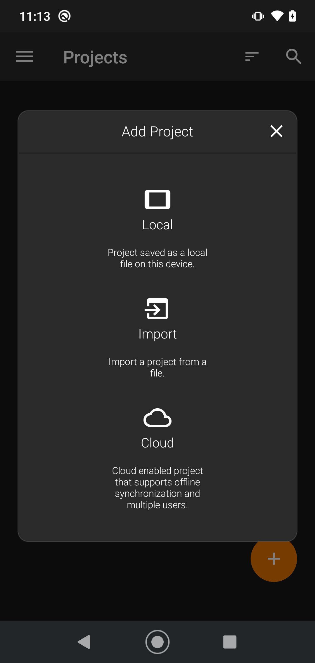
Uinta is a customizable mapping and field data collection software
Uinta is a customizable and hassle-free mapping and data collection software. Tired of complex and expensive GIS mapping software with limited abilities to customize for your job? We were too. Train new users in minutes with Uinta.
Top Features
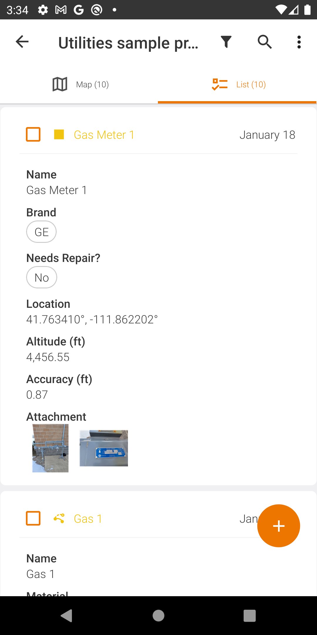
• Efficient Data Capture - Replace paper forms with efficient electronic data entry forms, for use with or without maps
• Professional Mapping - Quickly map points, lines, and areas. High-accuracy mapping supported
• Customizable - Create custom project templates so field-collected data reflects your job(s)
• User-friendly - Simple interface allows users to be trained and collecting data in minutes
• Sharable - Export data to a file, print professional PDF map reports, and create optional cloud projects
• Free & Live Support - Get a jump start on your project with help from Juniper Systems' in-house customer success team
Project templates in Uinta can easily be created to meet data collection needs across various industries and job types. From utility mapping, asset management, or irrigation to more niche applications such as utility pole mapping, Uinta can be tailored to meet your needs.





One-click to install XAPK/APK files on Android!

Thanks for your rating and feedback!
You have already rated.