關於Uinta Mapping Software
Uinta 是一款可定制的地圖和現場數據收集軟件
Uinta 是一款可定制且輕鬆的地圖繪製和數據收集軟件。厭倦了為您的工作定制能力有限的複雜且昂貴的 GIS 製圖軟件?我們也是。使用 Uinta 在幾分鐘內培訓新用戶。
主要特點
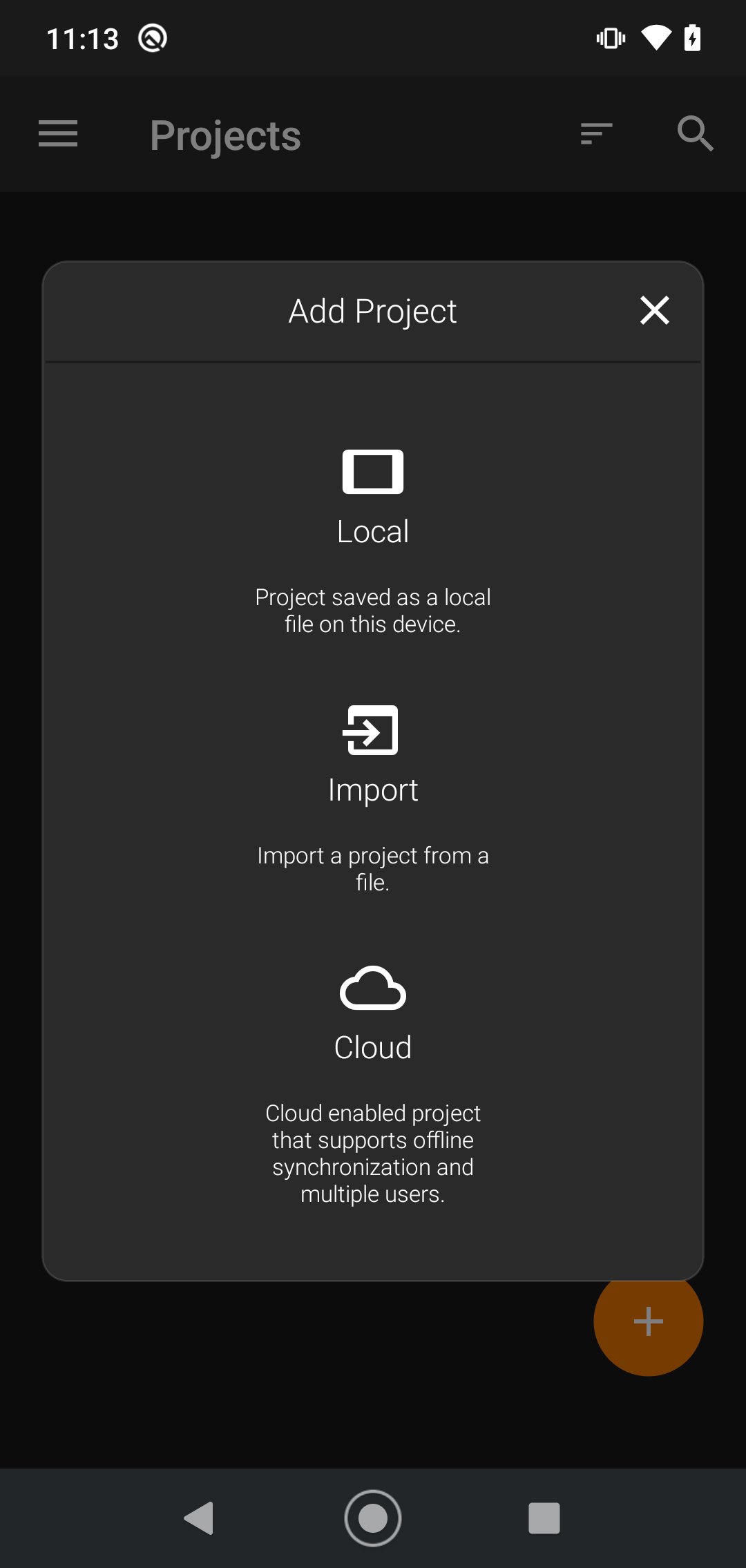
• 高效的數據採集 - 用高效的電子數據輸入表格代替紙質表格,無論是否使用地圖
• 專業製圖 - 快速映射點、線和區域。支持高精度映射
• 可定制 - 創建定制項目模板,以便現場收集的數據反映您的工作
• 用戶友好 - 簡單的界面允許用戶在幾分鐘內接受培訓和收集數據
• 可共享 - 將數據導出到文件、打印專業的 PDF 地圖報告以及創建可選的雲項目
• 免費和實時支持 - 在瞻博系統內部客戶成功團隊的幫助下快速啟動您的項目
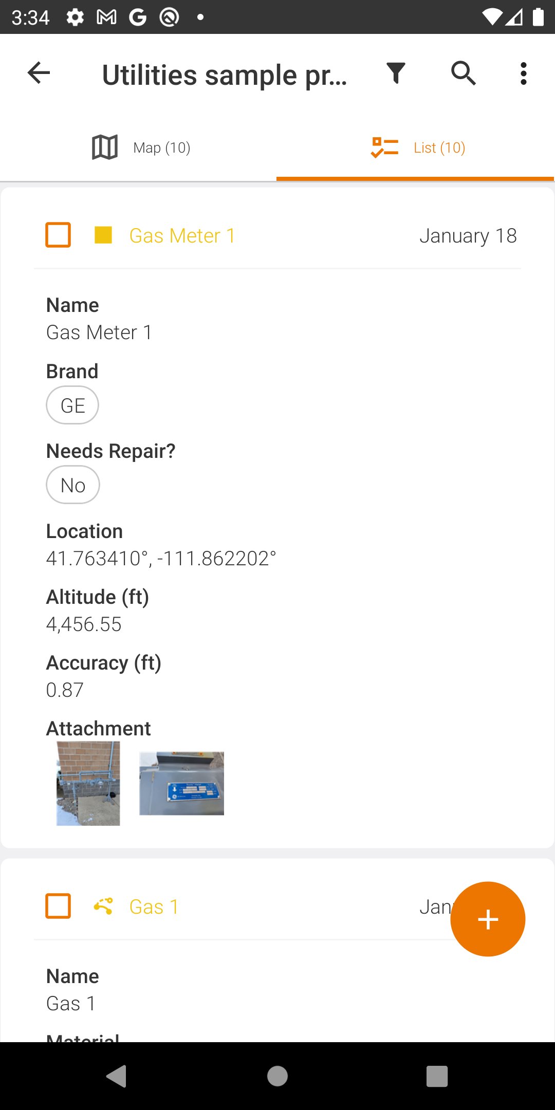
Uinta 中的項目模板可以輕鬆創建,以滿足不同行業和工作類型的數據收集需求。從公用設施測繪、資產管理或灌溉到電線桿測繪等更多利基應用,Uinta 可以根據您的需求進行定制。
最新版本2.9.0的更新日誌
Last updated on 2026年10月22日
• Measuring tool—Measure distances, paths, areas, and circle radii
• Shortcuts—Access your three most recently used record types
• Fast Map—Capture point records with a single tap
• Georeferencing tool—Georeference raster images in Uinta
• Translations—Use Uinta in English, German, Spanish, and French.
• New import/export options—Import/export to GeoJSON and import DXF and raw
TIFF.
• Coordinate reference systems—Select the coordinate reference system and
vertical datum when creating a project
• Shortcuts—Access your three most recently used record types
• Fast Map—Capture point records with a single tap
• Georeferencing tool—Georeference raster images in Uinta
• Translations—Use Uinta in English, German, Spanish, and French.
• New import/export options—Import/export to GeoJSON and import DXF and raw
TIFF.
• Coordinate reference systems—Select the coordinate reference system and
vertical datum when creating a project
Uinta Mapping Software APK信息
安全檢查已完成
無病毒
無間諜軟體
無惡意軟體
無病毒
無間諜軟體
無惡意軟體
套件名稱:com.junipersys.uinta
顯示更多
驗證者: APKPURE