








Thanks for your rating and feedback!
You have already rated.

VFR flight planning: routes, fuel, weight and balance, METAR and TAF.
QRouting plans your VFR flights on your phone: the route, the fuel, the weight and balance and the weather, with the performance of your own aircraft. No ads and no in-app purchases.
ROUTES
• Build the route with the worldwide waypoints of openAIP: aerodromes with runways and frequencies, navaids and VFR points, updated every month
• Add your own waypoints, also from your GPS position
• Altitude, QNH, temperature and wind of each leg, copied to the next legs with one tap
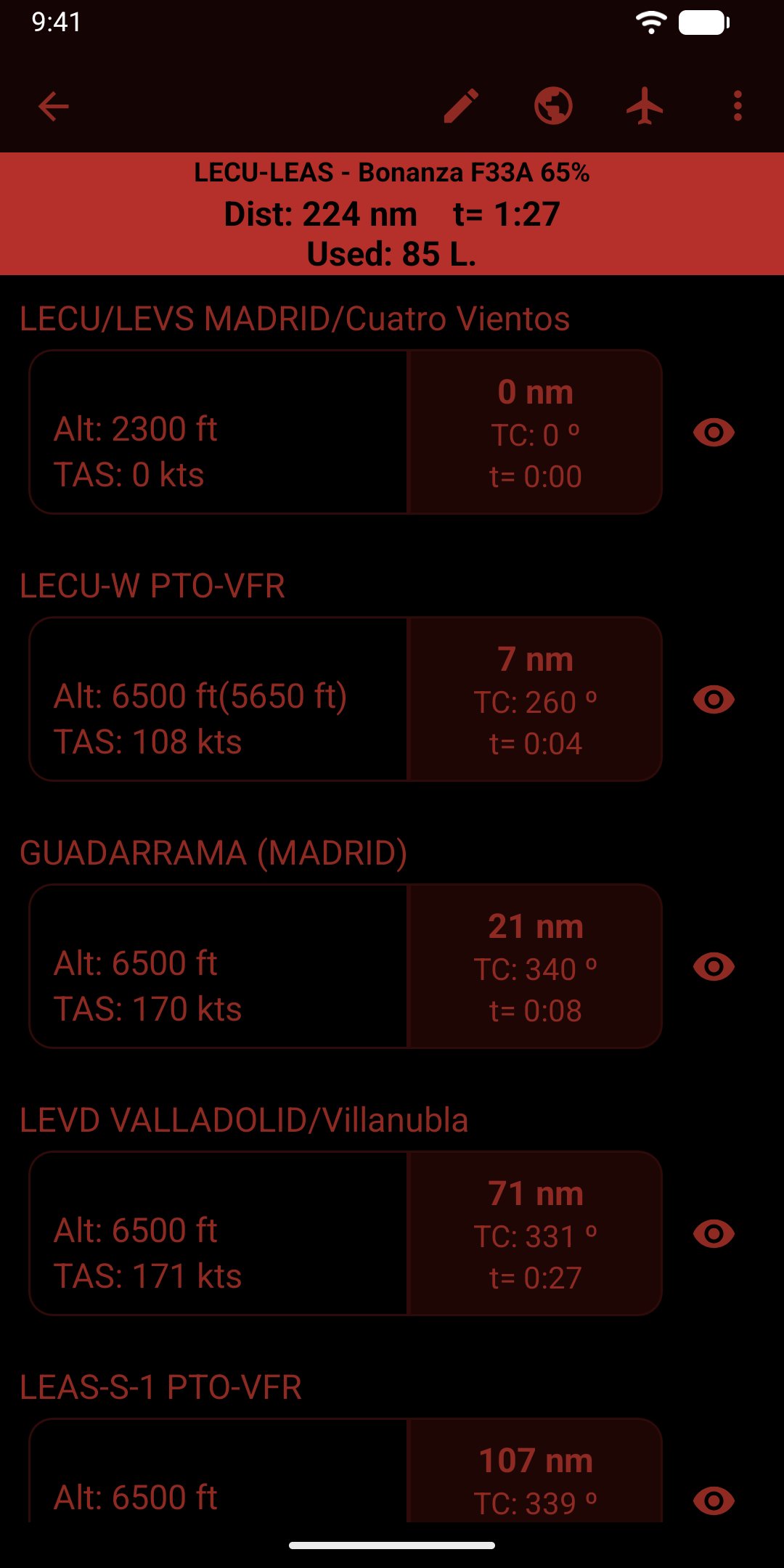
• For each leg: magnetic course and heading, true course, distance, TAS and ground speed, climb, time, pressure and density altitude and fuel used
• Destination and alternate airport, reverse route, duplicate, reorder
FUEL
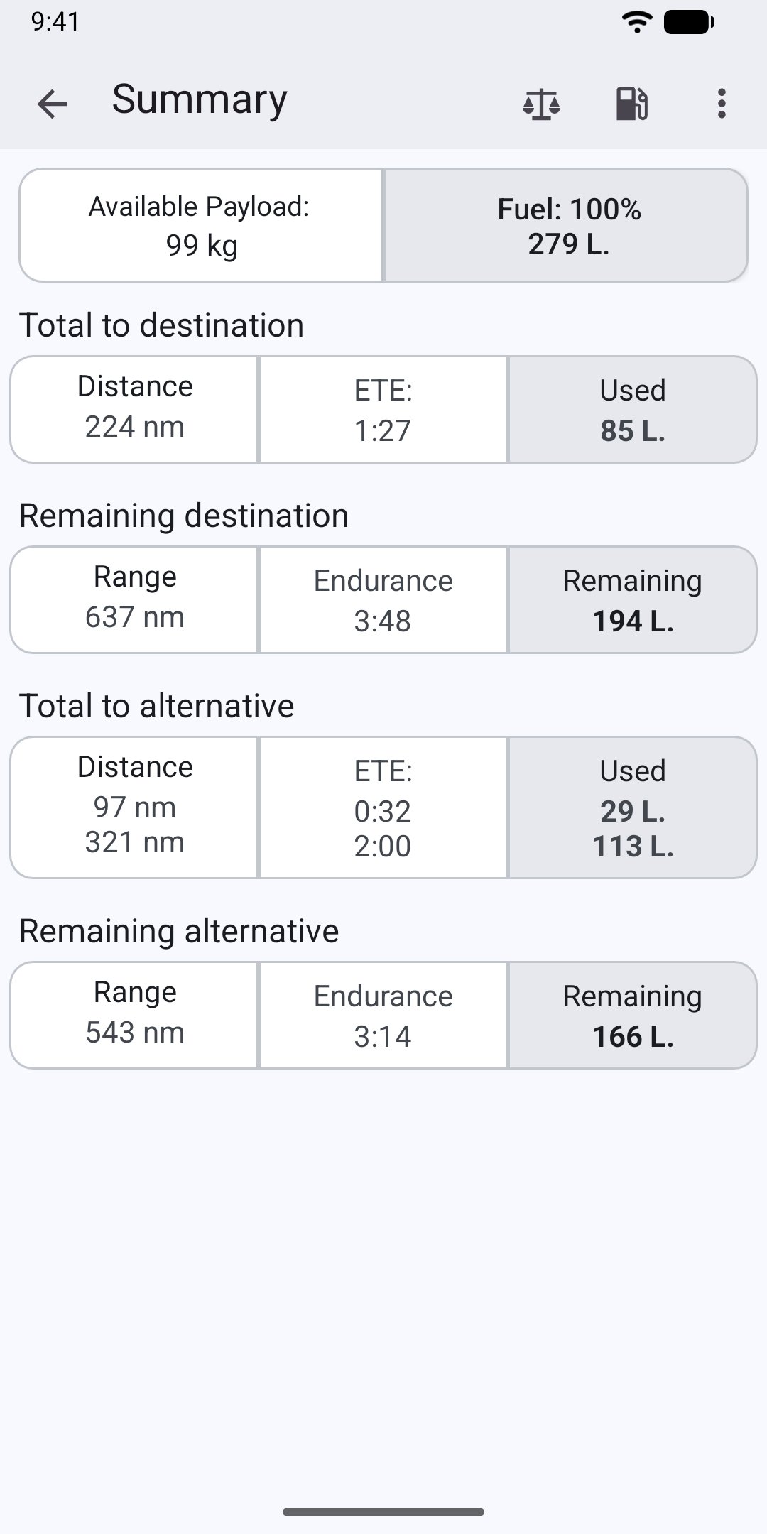
• Fuel used to the destination and to the alternate
• Remaining fuel, endurance and range at the destination and at the alternate
• Fuel by tanks, used in the order you choose
WEIGHT AND BALANCE
• Pilot, passengers, baggage and fuel tanks of each aircraft
• Envelope chart with the take-off, landing and zero fuel weight
• The landing weight and balance takes into account the fuel burned
YOUR AIRCRAFT
• Cruise and climb performance charts, with the data of the flight manual (POH)
• Sample aircraft included: Cessna 152, 172 and 182, Piper Warrior and Arrow, Bonanza, Cirrus, Diamond DA20, TB20, King Air, Citation...
WEATHER
• METAR and TAF of the stations near the route, from aviationweather.gov
• The last report is kept on the phone, to read it in flight without coverage
IN FLIGHT
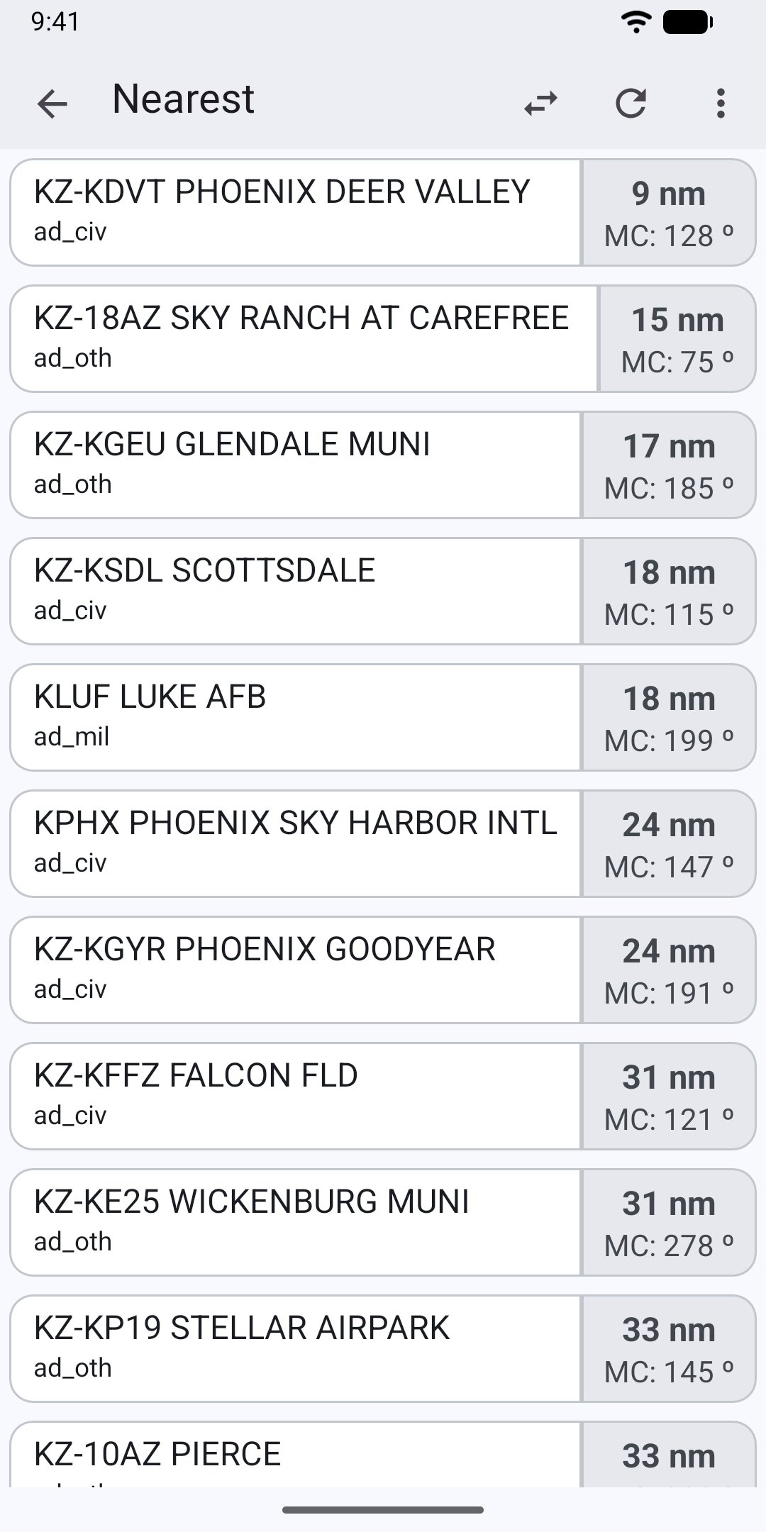
• Nearest airports and VORs with distance and magnetic course, from the GPS
• Position report: radial and distance from the nearest VOR
• Red night flight mode to keep your night vision, and light and dark themes
• Hobbs time calculation
MORE
• Units of your choice: nautical miles, statute miles or kilometres; feet or metres; hPa or inHg; kg or lb; litres, US or UK gallons...
• Export the route as GPX or GeoJSON, or send it to OruxMaps to see it on the map
• Save a copy of all your data to a file and restore it
UPDATING FROM A PREVIOUS VERSION?
The previous versions kept your routes, aircraft and waypoints in the file QRouting/QRouting.db of the phone storage. The first time you open the new version, it explains how to import them in a few taps.
PRIVACY
Your routes and aircraft stay on your device. No accounts and no analytics. The app only connects to the Internet to download the weather and the updates of the waypoint database, and to check the Google Play licence, and uses the location only on the device.
QRouting helps you plan; it does not replace the flight manual (POH/AFM) of your aircraft, the official aeronautical information or your own judgement. The pilot in command is responsible for the flight planning.
Also by QRouting Software: AviationChecklist, the checklists of your aircraft in the cockpit.




One-click to install XAPK/APK files on Android!
Thanks for your rating and feedback!
You have already rated.