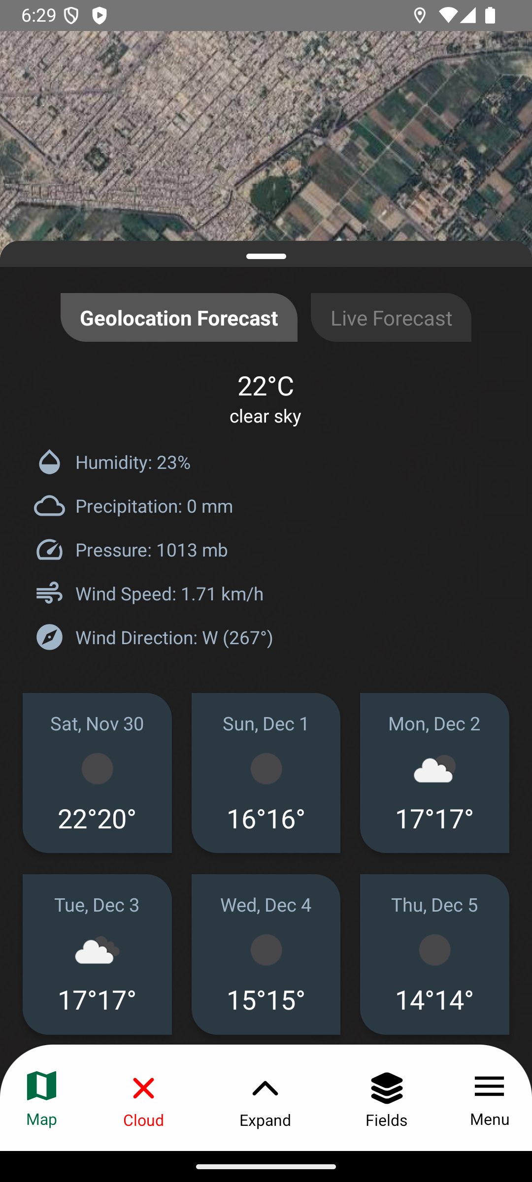
Kisan360 oferuje zdjęcia satelitarne i prognozy usprawniające rolnictwo.
Kisan360 pomaga rolnikom monitorować pola za pomocą zdjęć Sentinel-2 i 7-dniowych prognoz pogody. Oznaczaj pola, śledź stan upraw, wilgotność i azot oraz podejmuj decyzje w oparciu o dane, aby zwiększyć produktywność.
Pokaż więcej
What's new in the latest 1.0.0
Last updated on 2026-05-06
• Fixed drawing and rendering issues • Improved touch response and accuracy • General bug fixes and stability improvements
We use cookies and other technologies on this website to enhance your user experience. By clicking any link on this page you are giving your consent to our Privacy Policy and Cookies Policy.