APKPure에서 안전하고 빠른 APK 다운로드
APKPure는 바이러스 없는 IGN maps (E-walk plugin) APK 다운로드를 위해 서명 확인을 사용합니다.

이 플러그인은 전자 도보 IGN의지도를 추가
E-WALK PLUGIN
This app in an E-walk plugin (a plugin is an app that adds features to another app). You need E-walk to use this plugin: https://play.google.com/store/apps/details?id=com.at.ewalk.free .
The plugin adds to E-walk the ability to use the French IGN maps, and IGNrando'.
WARNING: these features mostly cover France only.
IGN MAPS
The IGN maps are highly detailed and cover the totality of french territory. Some maps are only available at certain zoom levels. They are the same as the ones used on the Géoportail website (http://www.geoportail.gouv.fr).
The IGN maps plugin adds to E-walk 8 base maps :
• ortho images: a high resolution satellite imagery (zoom levels 2 - 19)
• scan: a scan of paper IGN maps (zoom levels 2 - 18)
• scan express (classic): a scan of paper IGN maps often updated but with less details (zoom levels 6 - 18)
• scan express (standard): a scan of paper IGN maps often updated but with less details, with another style (zoom levels 6 - 18)
• ICAO maps: International Civil Aviation Organisation maps (zoom levels 6 - 11)
• administratives limits: administratives limits map (zoom levels 6 - 10)
• elevation map: digital terrain model (zoom levels 6 - 14)
• army staff map (1820-1866): historical map from 18th century (zoom levels 6 - 15)
And 8 overlay maps:
• cadastral parcels (black): map of numerical cadastral information (zoom levels 2 - 20)
• cadastral parcels (white): map of numerical cadastral information (zoom levels 2 - 20)
• cadastral parcels (orange): map of numerical cadastral information (zoom levels 2 - 20)
• administrative limits: map of administrative limits (zoom levels 6 - 18)
• buildings: map of constructions (zoom levels 12 - 18)
• geographical names: map showing names of cities, towns, etc... (zoom levels 12 - 18)
• Histolitt coastline: map showing the limit between land and marine area (zoom levels 6 - 18)
• hydrography: map of lakes, reservoirs, rivers, creeks, etc... (zoom levels 6 - 18)
LICENCES
The plugin allows to see the maps through two licences: Discovery licence (free), and Adventure licence (5.99$USD / month or 14.99$USD / year). The Discovery licence is limited by a monthly quota shared between all the users. Once the quota is exceeded, the maps can't be displayed until the next month.
With the Adventure licence, you can also download the maps beforehand on your device, in order to use them without any internet access.
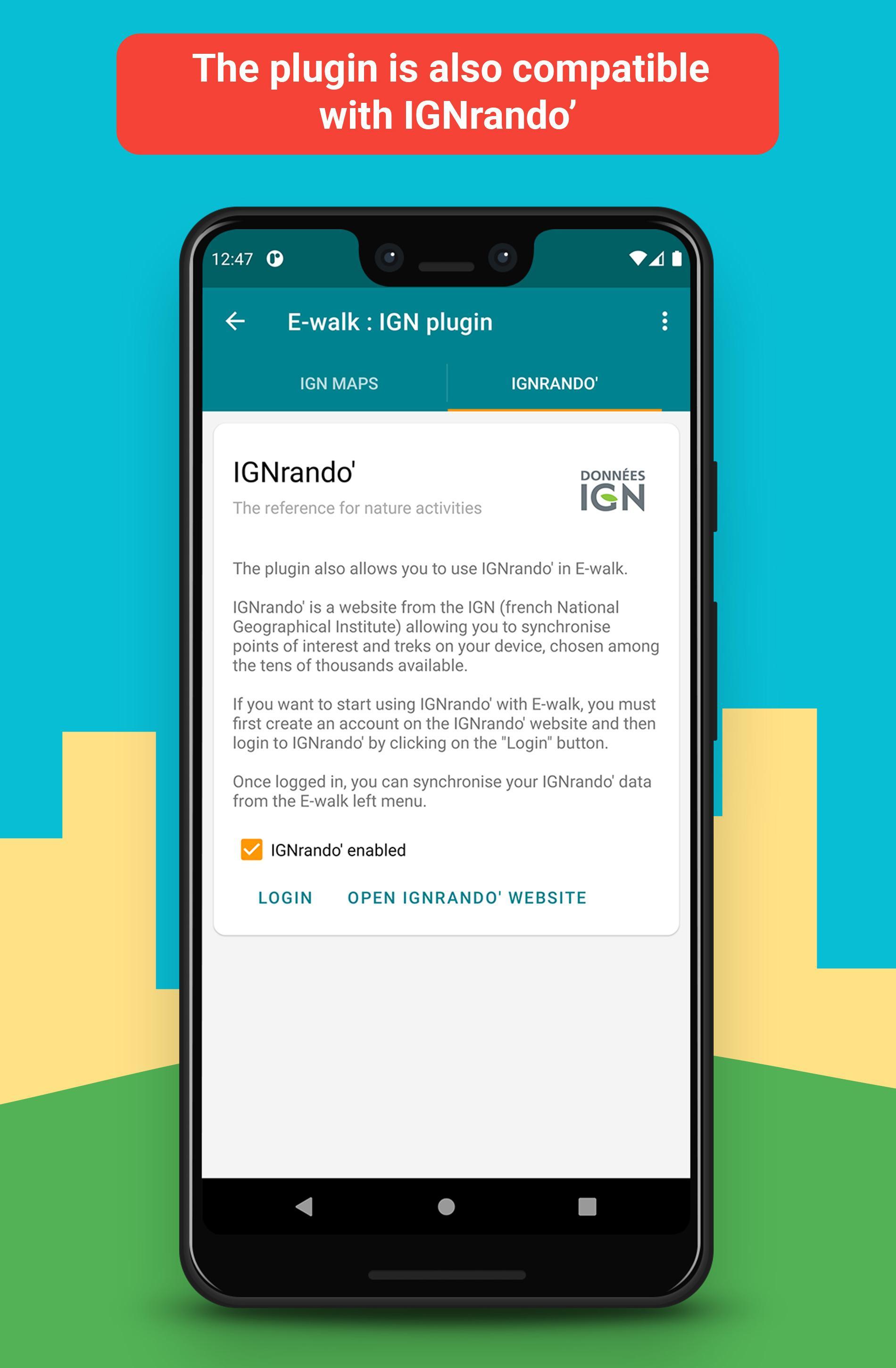
IGNrando’
IGNrando' (https://ignrando.fr) is a website provided by the IGN, allowing you to visualize treks and points of interest among the tens of thousands available. You can also add and share yours. Those treks and points of interest are mostly available in France only.
With E-walk, you can synchronize the treks and points of interest that you like on your device. Thereby, they will be available anywhere, and you'll no longer need an internet access to see them.




등급과 피드백에 감사드립니다!
당신은 이미 평가했습니다.