
APKPure에서 안전하고 빠른 APK 다운로드
APKPure는 바이러스 없는 Adama APK 다운로드를 위해 서명 확인을 사용합니다.

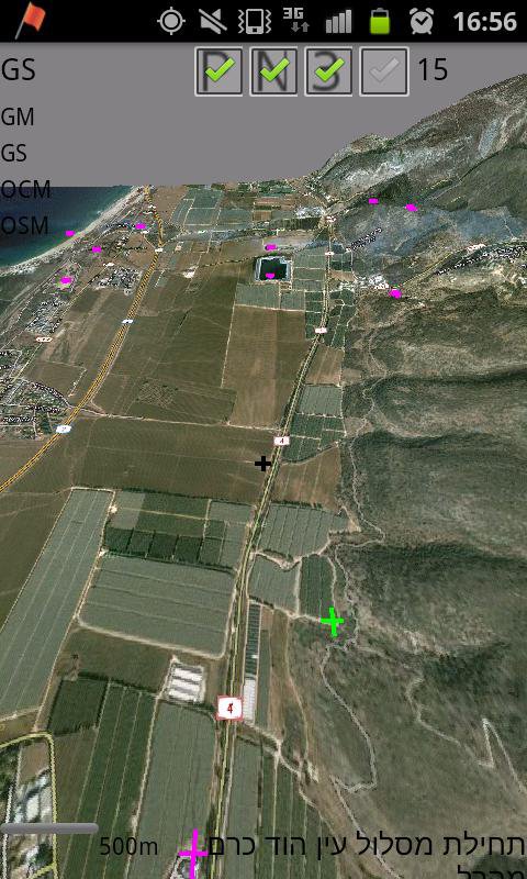
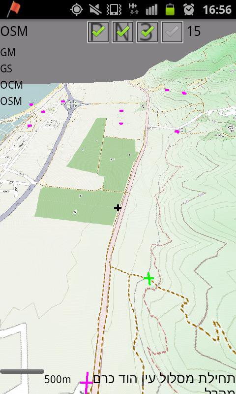
온라인 / 오프라인 3D 오프로드 네비게이션 얇은 응용 프로그램.
Adama is an online/offline 3D off-road navigation software. Its main usage would be for hiking or 4x4 traveling. Conceptually, it is based on tangogps - an open source, unix, gtk based solution.
It uses public available maps such as openstreet, opencycle.
You may use other off line maps, given that they are managed as tiles, for more info visit http://wiki.openstreetmap.org/wiki/Slippy_map_tilenames
Adama can also read Orux xml maps and convert them to the tiles system, enabling orux's maps visualization in 3D!
Adama can also be used to share location information with others, yet this feature require network connection.
Have a nice trip!
This is an alpha version.

등급과 피드백에 감사드립니다!
당신은 이미 평가했습니다.