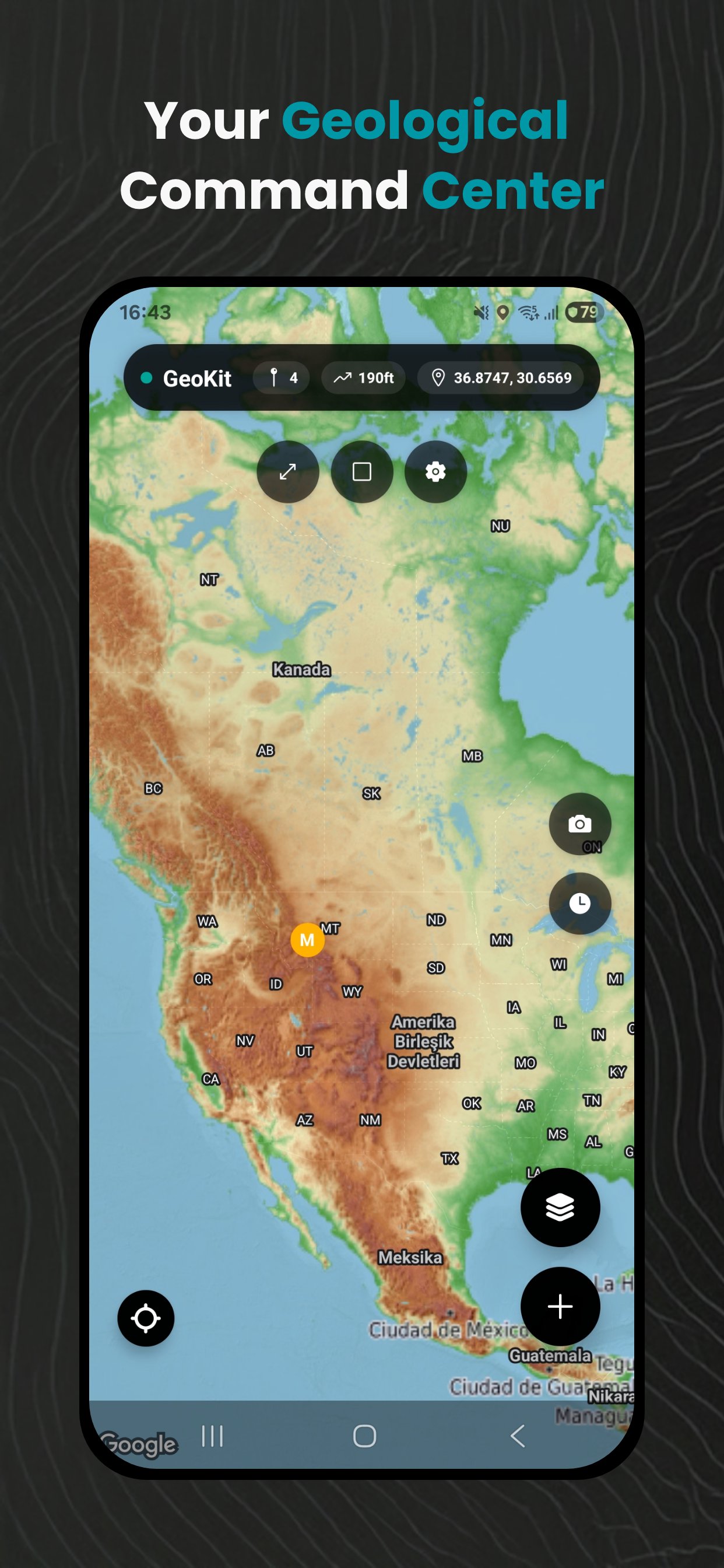
Informazioni su GeoKit: Geology Toolkit
Bussola geologica, altimetro, kit di strumenti per il monitoraggio dei terremoti e la mappatura sul campo.
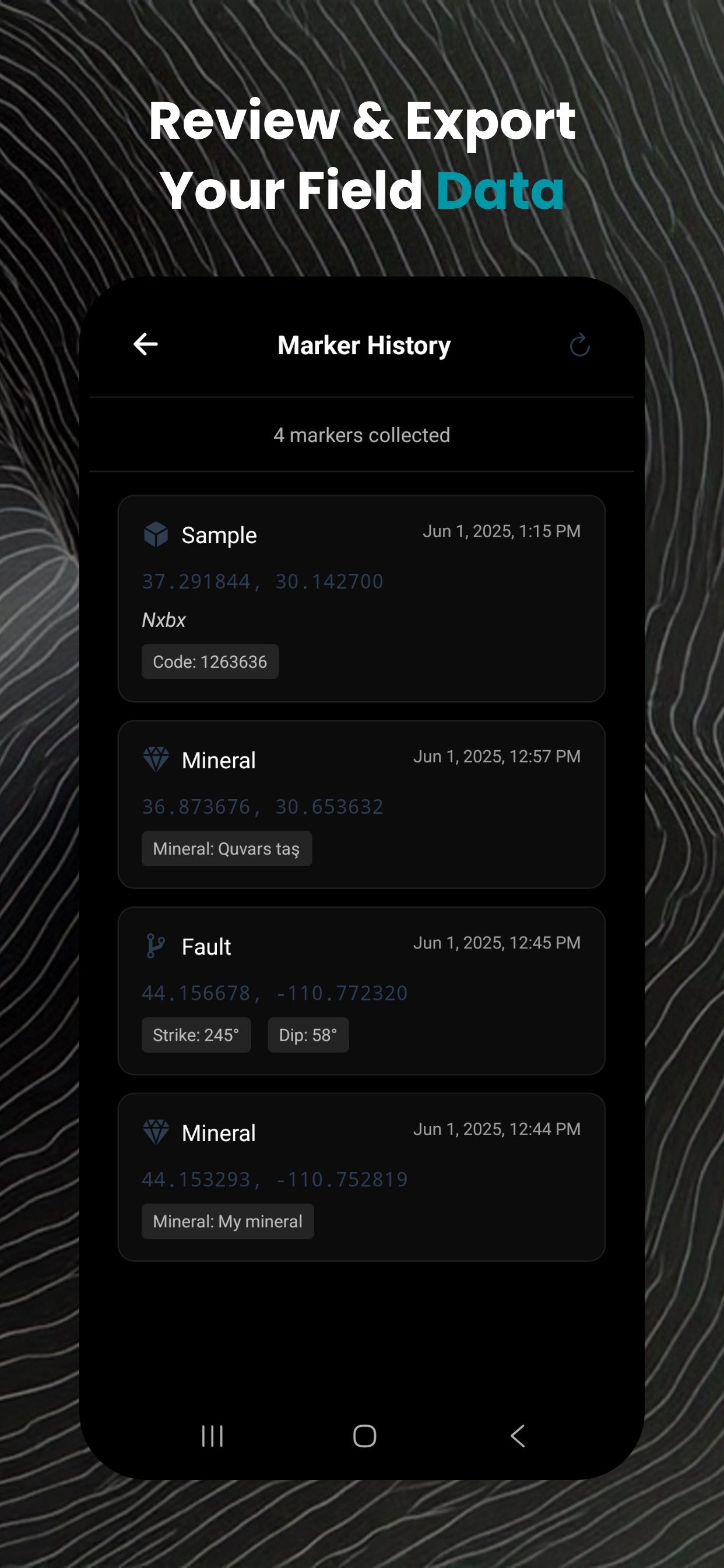
ESPORTAZIONE DATI GIS
• Esportazione in KML, GeoJSON, CSV
• Compatibile con QGIS, ArcGIS, Google Earth
• Condividi i dati sul campo con il tuo team
FUNZIONA OFFLINE
• Funziona senza connessione internet in postazioni remote
• Download di mappe offline
• Archiviazione dati locale con sincronizzazione cloud
Che tu stia conducendo un rilievo geologico, mappando affioramenti sul campo o studiando formazioni rocciose, GeoKit fornisce tutti gli strumenti di cui un geologo ha bisogno in un'unica app.
What's new in the latest 1.3.0
Last updated on 2026-08-21
Every screen has been rebuilt around a calm, focused design:
crisp typography, less clutter, and your data front and centre.
New Light and Dark themes (Settings › Appearance). Light mode
makes the screen far easier to read in bright sunlight out in the field.
Defaults to Dark; choose System to follow your phone.
crisp typography, less clutter, and your data front and centre.
New Light and Dark themes (Settings › Appearance). Light mode
makes the screen far easier to read in bright sunlight out in the field.
Defaults to Dark; choose System to follow your phone.
Informazioni sull'APK GeoKit: Geology Toolkit
Controllo di sicurezza completato
Nessun virus
Nessuno spyware
Nessun malware
Nessun virus
Nessuno spyware
Nessun malware
Nome del pacchetto:com.geokit
Mostra di più
Verificato da: APKPURE
Vecchie versioni di GeoKit: Geology Toolkit
Download super veloce e sicuro tramite l'app APKPure
Basta un clic per installare i file XAPK/APK su Android!